Key points
- Harrat Khaybar is one of the largest volcanic fields on the Arabian Peninsula, north of Medina and south-east of AlUla.
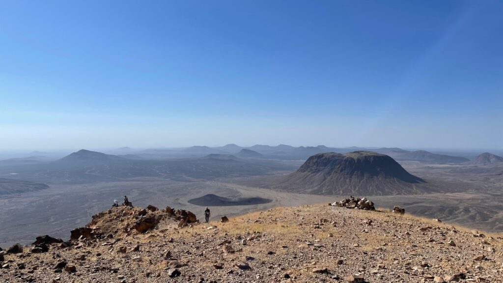
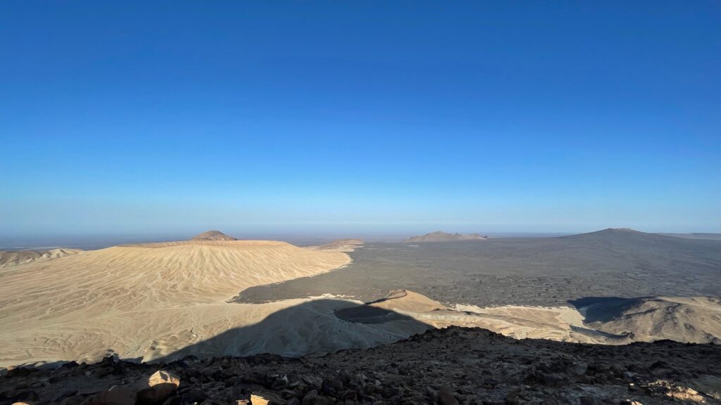
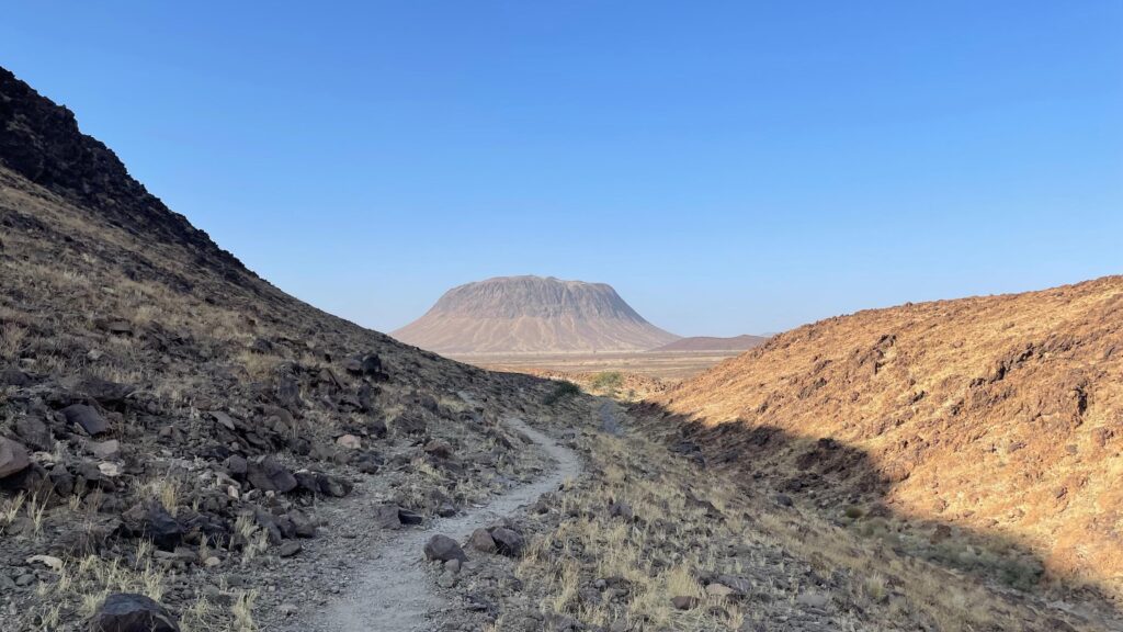
- Its landscape mixes black lava flows, cinder cones, craters and pale volcanoes such as Jabal al-Abyad and Jabal Bayda.
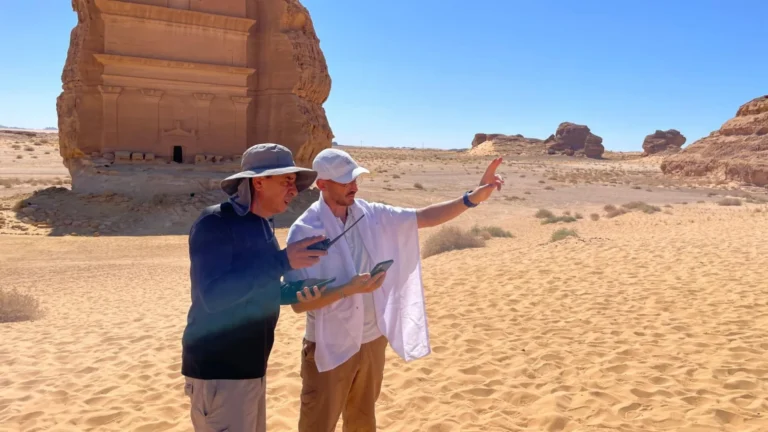
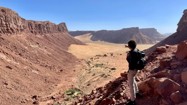
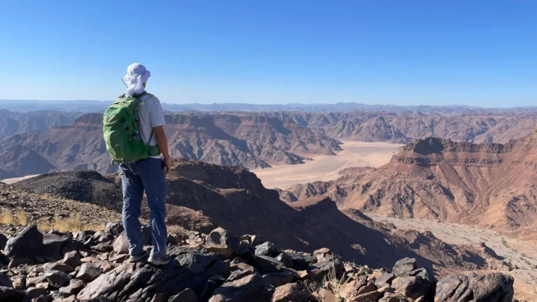
- Khaybar is part of the AlUla Adventure Trails Network that Wild Guanabana scouted and audited for the Royal Commission for AlUla.
- Lava terrain changes everything: surfaces, navigation, heat, water and how a trail is graded.
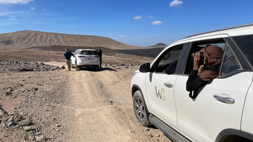
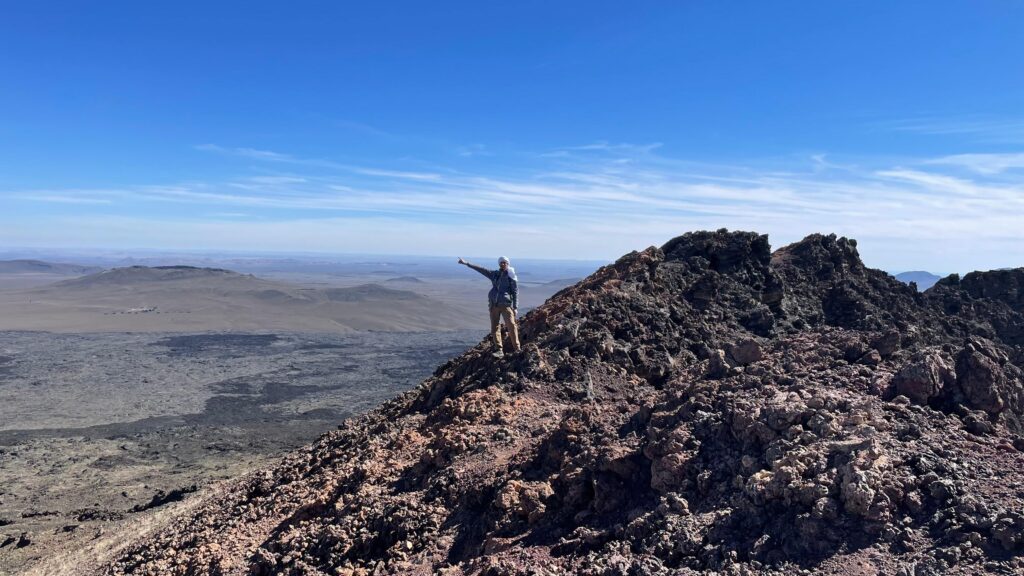
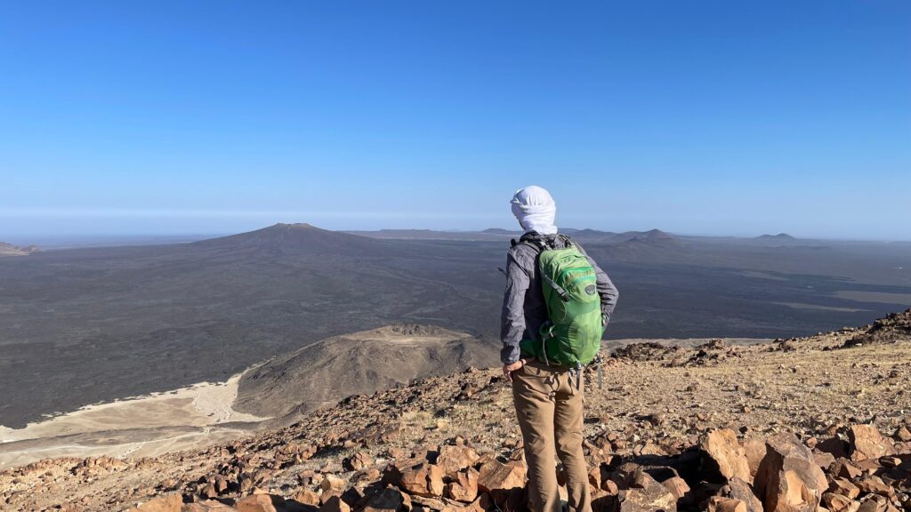
Drive south-east from AlUla and the sandstone gives way to something else entirely. The ground turns black. Low cones rise from the plain, some dark, some strangely pale. Fields of broken lava stretch to the horizon, crossed by old tracks and the occasional line of stones left by those who walked here before. This is Harrat Khaybar, and it is one of the most unusual landscapes we have ever designed trails in.
A volcanic field on a giant scale
Harrat Khaybar is one of the great volcanic fields of the Arabian Peninsula. Over a very long time, eruptions built cinder cones, lava flows and craters across a vast area north of Medina. Among them stand the white volcanoes, Jabal al-Abyad and Jabal Bayda, whose light-coloured rock stands out against the dark basalt around them. Walking from the rim of a crater down to its floor, or along the edge of a lava flow that looks as if it cooled yesterday, is an experience very few trail destinations in the world can offer.
What lava does to a trail
- Surface. Fresh-looking basalt is sharp, loose and tiring. We look for old tracks, ash and cinder slopes and the edges of flows, where walking is comfortable and the impact is lowest.
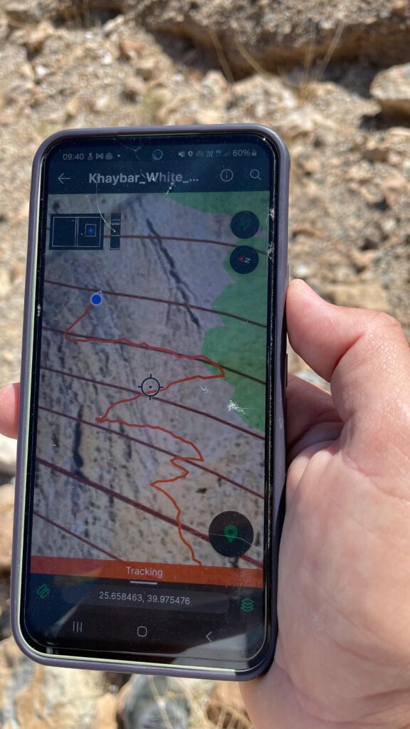
- Navigation. Lava fields look the same in every direction. Wayfinding has to be clear without being heavy, and digital navigation becomes part of the design.
- Heat and water. Black rock absorbs the sun. Season, start times, shade and water points are designed in from the beginning.
- Grading. A short crater walk can still be steep and loose. Each segment is graded separately for effort, terrain and risk, so the visitor knows exactly what to expect.
- Fragility. Cinder slopes erode fast. Trails stay on one line, and we avoid creating new scars on crater walls.
Why Khaybar matters for the region
Together with AlUla’s sandstone and oases, the volcanic landscapes of Khaybar give the network a contrast that few destinations can match: two completely different worlds within a short drive. Designed well, they turn a visit to AlUla into a reason to stay longer.
Have a landscape that deserves a trail? Start a project →