Key points
- Wild Guanabana scouts on the ground first and does the desk work second.
- In AlUla our field team scouted and mapped more than 1,300 km of hiking, cycling and horse riding trails between January and May 2024.
- Desk work comes after: cleaning GIS data, writing audit reports and drawing maps.
- Field teams work as a Lead Trail Auditor, an Assistant Trail Auditor and an experienced driver.
It is easy to draw a beautiful trail on a satellite image. A line follows a wadi, curves around a rock tower and arrives at a viewpoint. On a screen it looks perfect. On the ground, the wadi may flood a few times a year, the sand may be too soft to walk or ride, and the viewpoint may sit at the top of a slope nobody should climb in the afternoon heat. A line on a masterplan is not a trail.
We start where the trail will be: outside
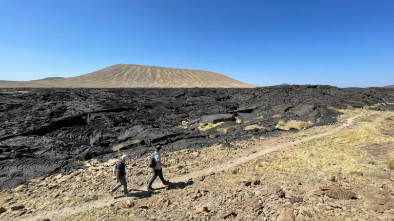
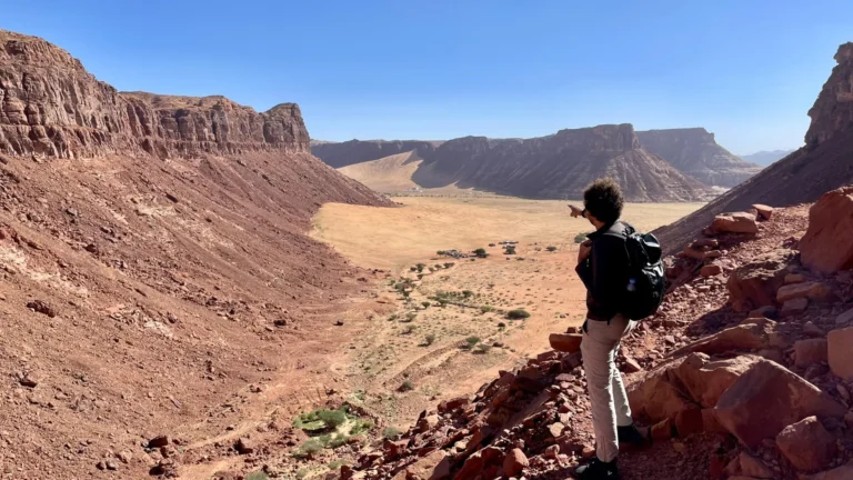
Before we draw anything, we read what we need to read: masterplans, zoning, heritage data and environmental guidelines, so we know where trails are allowed and what must be protected. Then we go out. Our scouts walk, cycle and ride the land with one question in mind: where are the great trails? Not the shortest connection between two points, but the routes that carry a story, a view, a sense of discovery, and that people can use safely.
In AlUla, between January and May 2024, the Wild Guanabana field team scouted and mapped more than 1,300 km of trails across AlUla and Khaybar, on foot, by bike and on horseback. About 70% of that was audited in the same season, including ten key hiking trails prepared for early activation. The scouting was organised in twenty areas, or clusters, chosen from our trail selection criteria, our mapping research and the Royal Commission for AlUla’s recommendations.
What the ground teaches you
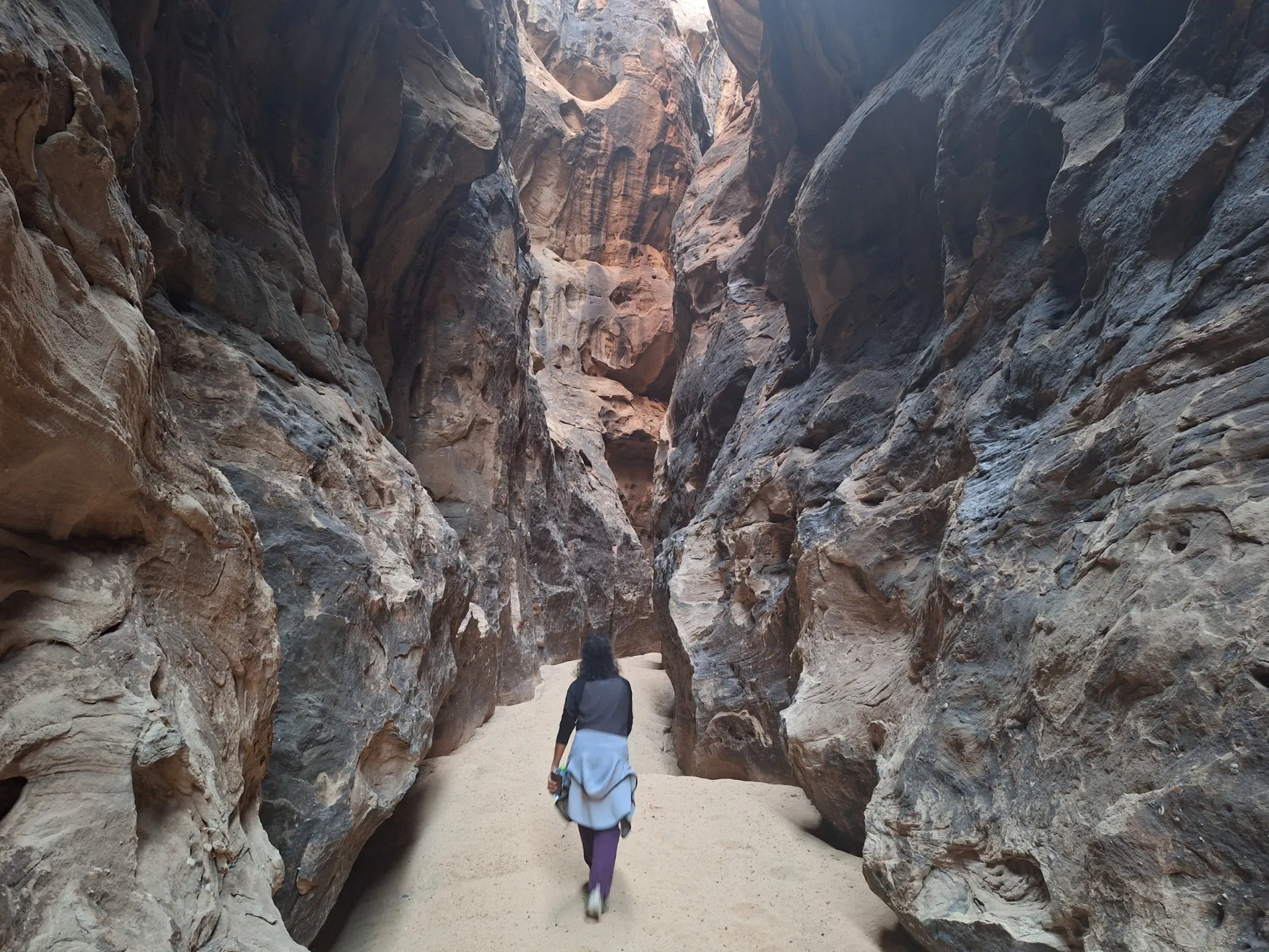
Field work changes plans. In AlUla it showed us that trails five to ten minutes from the Old Town can feel completely remote, a rare strength for any destination. It showed us that long gravel-bike routes close to town are harder than they look on a map, because of soft sand patches and wadis exposed to flooding. It showed us the real risk of flash floods in gorges and canyons, which led us to recommend a warning system for trail users. And it showed us the valleys of the AlGharoty tribe, an upland area with a mountain experience that no desk study would have prioritised.
Then the desk work, properly
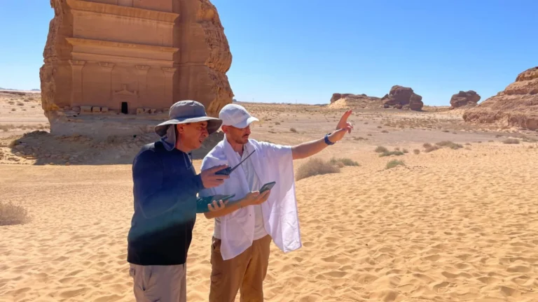
Desk work is not the opposite of field work. It is what makes it useful. After each season our cartographers clean and organise the GPS data, our auditors write a report for every trail, and the network is shaped: which trails to keep, which to link, where the loops should be and how the mix of difficulty serves different visitors. Only then do we draw the maps, the signage plans and the intervention lists that builders will use.
Safety in the field is part of the method
Each field team is a Lead Trail Auditor, an Assistant Trail Auditor and a professional driver. Before every visit we analyse the topography, the hydrography, the hazards and the exit roads; we share a daily plan with the client’s safety team; and every team member carries GPS with offline maps, a VHF radio and a first aid kit, with a satellite phone for each team.
Have land and a masterplan, but no trails yet? Start a project →